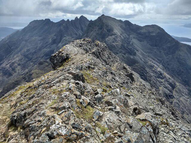
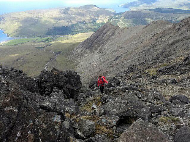
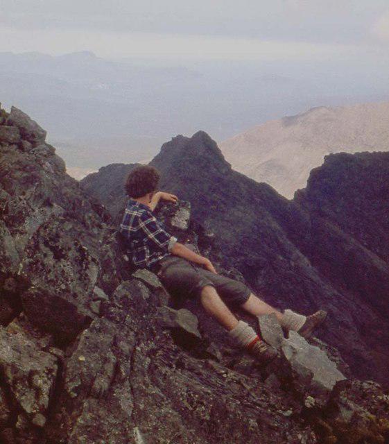
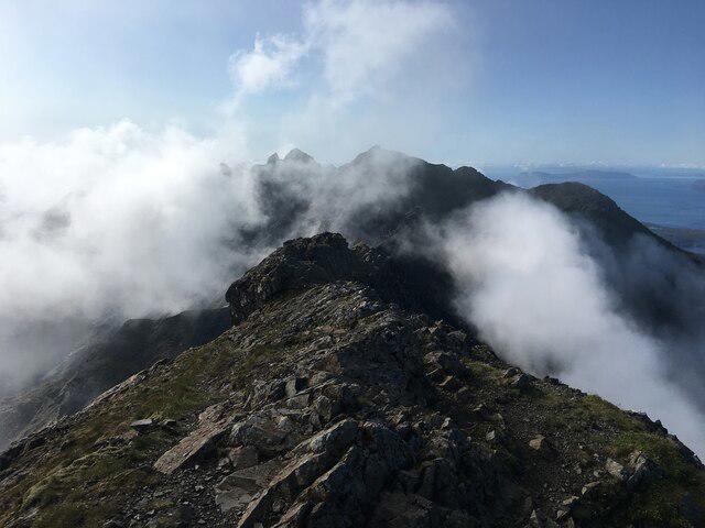
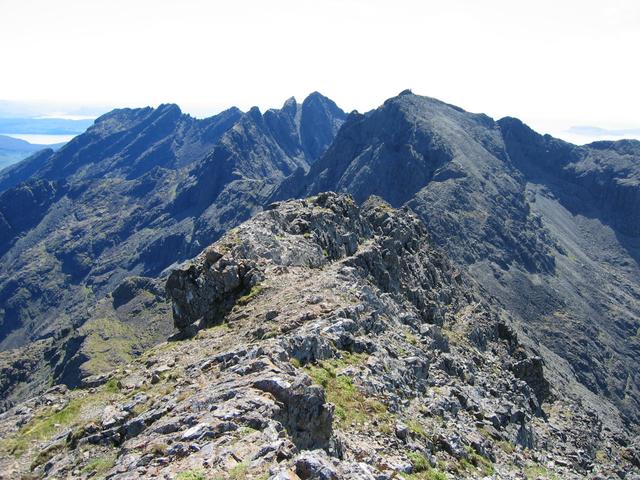
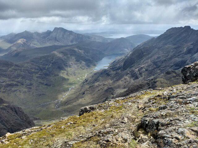
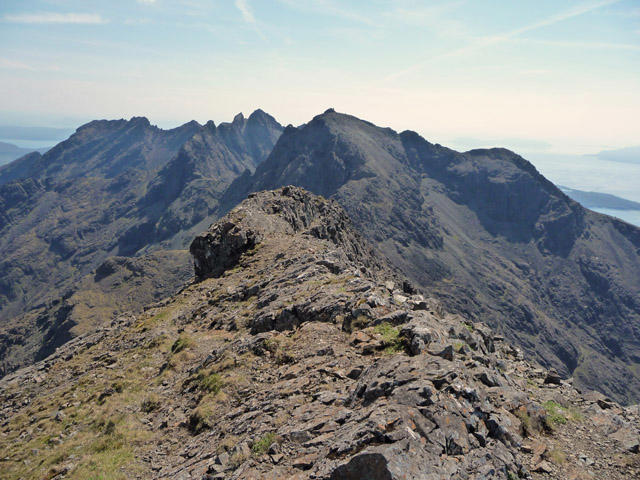
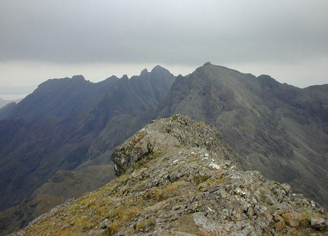
Sgurr na Banachdich [Sgurr na Banachdaich]

Sgurr na Banachdich [Sgurr na Banachdaich]

Sgurr na Banachdich [Sgurr na Banachdaich] Group Walks | Join a Walk

965m Elevation
114m Prominence
Scotland Country

Join group walks, find walking companions and friends, or organise your own!

Classifications

Hump Munro Sim High Hill of Britain

Looking for walking companions?

Don't walk alone! Find friendly walkers to explore Sgurr na Banachdich [Sgurr na Banachdaich] together. Join scheduled group walks or start your own.

Elevation

965m

3,166 ft

Prominence

114m

Coordinates

57.2210, -6.2416

NG440224

OS Map

32

Explorer: 411

At the Summit

The summit is marked by a substantial cairn, which stands as both a navigational aid and a testament to the number of intrepid hikers who have reached this peak.

Terrain & Geology

A mix of rocky terrain and grassy slopes interspersed with some boggy patches in lower areas.

The mountain is primarily composed of gneiss and schist, dating back to the Lewisian complex, offering insights into the ancient geological processes that shaped this stunning landscape.

Views & Scenery

From the summit, enjoy sweeping views of the Black Cuillin range and the shimmering waters of Loch Brittle, with the islands of Canna and Rum in the distance on a clear day.

History & Heritage

Name Origin

The name 'Sgurr na Banachdich' is thought to mean 'The Peak of the Daughter', linking it to local folklore and cultural history of the Isle of Skye.

Historical Significance

This mountain is a favoured choice for climbers and walkers, often featuring in both local tales and legends surrounding the landscape.

Popular Routes

Coire na Banachdich Route

Moderate

This is the most popular route to Sgurr na Banachdich, starting from the Glen Brittle campsite. The path follows a clear track into Coire na Banachdich, ascending steadily alongside the burn before reaching scree slopes. From here, the route climbs more steeply to the summit, offering incredible views of the surrounding Cuillin Ridge.

8 km 5 hours

Sgurr Dearg and Sgurr na Banachdich Traverse

Hard

A more challenging route that combines Sgurr Dearg (home to the iconic Inaccessible Pinnacle) with Sgurr na Banachdich. Starting from Glen Brittle, this route ascends to Sgurr Dearg before traversing the ridge to Sgurr na Banachdich. It involves some scrambling and is best suited for experienced hikers.

9.5 km 7 hours

Coire an Eich Route

Moderate

This less frequented route begins from Glen Brittle and ascends via Coire an Eich. The path is less defined but offers a quieter approach to the summit. It involves a steep climb to gain the ridge before following it to Sgurr na Banachdich, providing stunning views and a sense of remoteness.

7 km 5 hours

Northwest Ridge Scramble

Hard

For those looking for a more technical ascent, the Northwest Ridge offers an exhilarating scramble to the summit. Starting from Glen Brittle, the route heads up steeply and requires good navigation skills. The scrambling sections add excitement but demand care, especially in poor weather.

7.5 km 6 hours

Full Cuillin Traverse Including Sgurr na Banachdich

Very Hard

This is the ultimate challenge for experienced mountaineers: a full traverse of the Cuillin Ridge, which includes Sgurr na Banachdich. Starting at either Glen Brittle or Sligachan, it is a multi-day expedition requiring climbing skills, excellent fitness, and logistical planning. The route offers jaw-dropping views and unforgettable experiences.

12 km 20 hours

Getting There & Facilities

Parking

The nearest parking is available at the Glen Brittle campsite, which is well-signposted and accommodates several vehicles.

Public Transport

Buses from Broadford can take you to Glen Brittle, though it's wise to check the latest schedules as services can be limited.

Nearby Facilities

The Glen Brittle campsite has basic facilities, while cafes and shops can be found in Broadford.

Safety Information

Known Hazards

  • Rockfall on steep sections, sudden weather changes, and potential for challenging navigation in misty conditions. Always check your maps!

General Safety Tips

  • Check weather conditions before setting out
  • Carry appropriate clothing and equipment
  • Let someone know your planned route
  • Take a map, compass, and GPS device
  • Carry emergency supplies: food, water, first aid kit, torch

Find Walking Companions

Join friendly walkers exploring Sgurr na Banachdich [Sgurr na Banachdaich] and surrounding area

Can't find a walk? Organise your own!

Create a walk and let others join you. It's free and easy!

Hills

Some common questions about the hills answered

Are there group walks up Sgurr na Banachdich [Sgurr na Banachdaich]?

Many walkers use Walkmates to join or organise walks with others. You can check for group walks around Sgurr na Banachdich [Sgurr na Banachdaich] through the maps

Are there other walkers around Sgurr na Banachdich [Sgurr na Banachdaich]?

Activity varies by location and time, but Walkmates lets you see whether others have shared walks or shown interest in this area. Find other people through the walking friends search walking friends for Sgurr na Banachdich [Sgurr na Banachdaich] search or of course create your own walk for Sgurr na Banachdich [Sgurr na Banachdaich]

Can I organise a walk to Sgurr na Banachdich [Sgurr na Banachdaich]?

Yes. If there aren’t any walks listed already, you can create a walk and make it available for others to join.

If you're signed up to Walkmates, you can create a walk to Sgurr na Banachdich [Sgurr na Banachdaich].

How do I find a walk up this hill?

There are often multiple ways to walk this hill, depending on experience and route preference. Walkmates helps you explore walks and routes that others have shared.

Can I suggest a new route up Sgurr na Banachdich [Sgurr na Banachdaich]?

Yes. You can suggest or create routes to share with others. Walkmates focuses on the social side of walking, so routes are used to help people organise walks and explore areas together, rather than as detailed navigation tools or route libraries.

Other uses really appreciate knowledgeable walkers sharing their routes. Share your favourite route to Sgurr na Banachdich [Sgurr na Banachdaich] here

The is an error or something incorrect about this hill. How do I let you know?

We always strive to keep the information on Walkmates as accurate as possible. If you find an error, please let us know through the contact form and we'll aim to correct it as quickly as possible